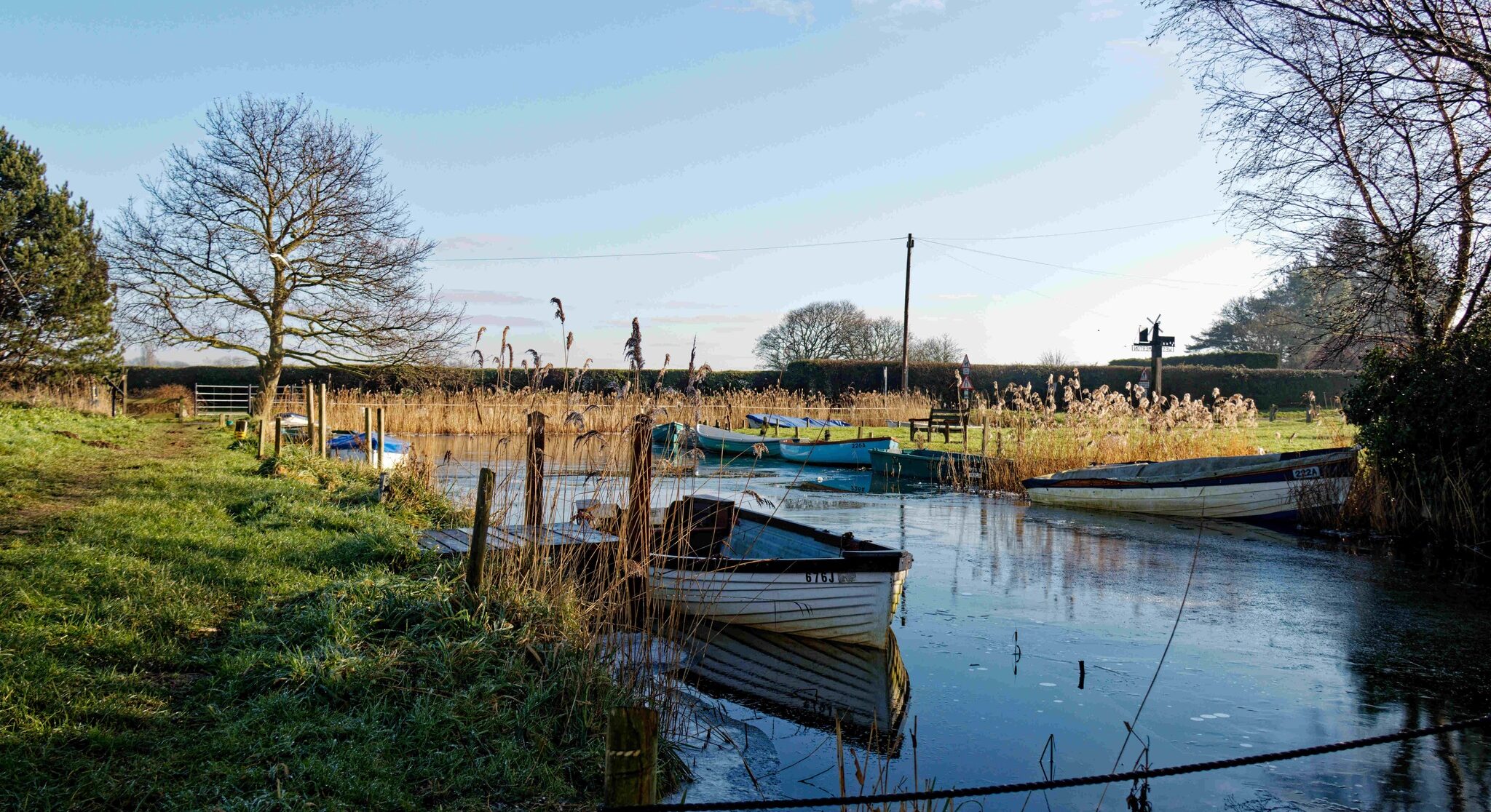
If you live in a conservation area then you may need planning permission before undertaking work such as altering a building, demolishing a building, felling a tree or removing branches. The conservation area in the centre of Somerton, from Sandy Lane, part of Cottage Road, Common Road, parts of Horsey Road and Staithe Road plus The Parish Staithe area, come under the Broads Authority.
https://www.broads-authority.gov.uk/planning/other-planning-issues/conservation-areas
The conservation area covering parts of The Street and the area from the Church and Somerton Hall stretching to Manor Farm Road come under Great Yarmouth Borough Council.